|
Brittany
Ferries
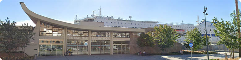
Spain
- Santander Terminal
GPS
coordinates
Lat: 43:27:33N (43.45917)
Lon: 3:48:23W (-3.80620)
Road
From west:A8/A67/A8/Ave
de
Castilla/Calle de
Antonio Lopez From
east:A8/Ave de Castilla/
Calle de Antonio
Lopez
From south:A1/N623/A67/A8/
Ave de Castilla/Calle
de Antonio Lopez/Estacion
Maritime,
Santander, 39002
Back to Brittany
Ferries
UK
- Plymouth Terminal
map
UK - Portsmouth Terminal map
|
|